Results
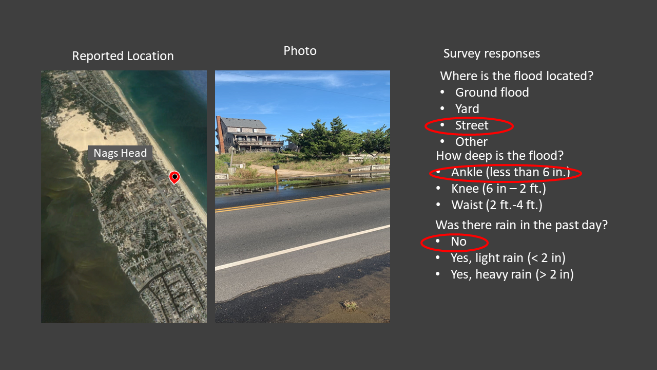
Citizen-science reports from iFlood were used to evaluate the regional application of an analytical groundwater pulse model. Twenty-five ocean-side reports associated with 7 ocean storms (6 of which had minimal rainfall) between Sept 2019 and Feb 2020 showed flooding on natural (permeable) land surfaces along 70 km of the northern Outer Banks barrier island, from Corolla to Rodanthe, NC. The analytical model (with recharge) predicts flooding that is consistent with the timing and location for 19 of the 25 reports. Applying the model regionally suggests that more than 10% of the land area on the ocean side of the northern Outer Banks would be inundated by coastal groundwater even in the absence of rainfall or dune-overtopping for an ocean storm with 1-m surge and 6-m offshore wave heights (a 2.25 m increase in the shoreline water level), which is only slightly larger than observed during recent hurricanes.
Housego, R., Raubenheimer, B., Elgar, S., Cross, S., Legner, C., & Ryan, D. (2021). Coastal flooding generated by ocean wave-and surge-driven groundwater fluctuations on a sandy barrier island. Journal of Hydrology, 603, 126920.
